Okay, I have to be honest with you — when I first read about this discovery, I had to pick my jaw up off the floor.
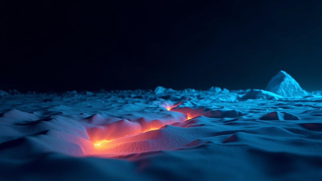
Scientists have just identified a massive hidden structure beneath Antarctica's ice sheet, and I'm not exaggerating when I say it's reshaping how we understand our planet's geological history. We're talking about a network of enormous basins hiding beneath ice that's more than three kilometers thick in places. That's nearly two miles of ice, people. Two miles of frozen nothing separating us from one of the largest geological features on Earth.
But here's what really got me — these basins aren't random. They form a continent-spanning, fan-shaped pattern that researchers are calling the East Antarctic Fan-shaped Basin Province. I love that name. It sounds like something out of a science fiction movie, but this is very real and very much happening right now beneath our feet.
So What Exactly Is This Thing?
The province connects several well-known subglacial features, including the Wilkes and Aurora basins, and — here's the kicker — the basin that holds Lake Vostok, the largest known subglacial lake on our entire planet.
Here's the wild part: scientists have been studying many of these individual basins for decades. They're famous in the research world. But nobody ever realized they were all connected — part of one giant, coherent geological structure. It's like discovering that a bunch of seemingly separate puzzle pieces actually form a complete picture.
How did researchers miss this for so long? Well, it's a bit hard to study something when there's two miles of ice on top of it.
The Science Behind the Discovery
Now, let's talk about how this massive structure formed. According to the research team, the basins likely developed through something called distributed rotational extension. I know — it sounds complicated. But here's a simple way to picture it.
Imagine placing your hand on a table with your thumb pointing up. Now imagine your fingers spreading apart from each other. The spaces that open up between your fingers? Those are kind of like the triangular basins that formed as Antarctica's ancient crust stretched outward from a central point.
It's almost like the continent was gently pulled apart, creating these wedge-shaped basins like the gaps between your fingers. The researchers say this might be one of the biggest examples of rotational extension ever found within continental crust.
A Deep History Connected to Gondwana
This structure didn't form overnight — or even in a few million years. Scientists believe it developed through multiple tectonic episodes tied to the formation and evolution of the ancient supercontinent Gondwana. You remember Gondwana, right? That massive landmass that included Africa, South America, Antarctica, Australia, India, and the Arabian Peninsula before it broke apart about 180 million years ago.
Here's where it gets even more interesting: this hidden structure might also be connected to when Antarctica and Australia split apart. The research suggests these geological processes may have actually played a role in that continental breakup. We're talking about features so old and so fundamental that they influenced how continents moved around the globe.
Why This Matters For Climate Science
Now, here's where this stops being just a "cool geology fact" and becomes genuinely important for all of us.
The shape of the bedrock beneath Antarctica's ice is still actively influencing how ice moves across the continent today. This hidden landscape determines where subglacial lakes form and helps control the stability of ice sheet regions that are already vulnerable to climate change.
In other words, understanding what's underneath the ice isn't just about satisfying scientific curiosity — it's about predicting how our ice sheets might respond as the planet warms. The bedrock geometry matters for everything from ice flow patterns to sea level rise projections.
How Did They Find It?
The researchers didn't just stumble upon this discovery. They combined multiple types of data — subglacial topography maps, gravity measurements, magnetic data, seismic information, and models of Earth's crust and lithosphere. Dr. Guy Paxman from the Department of Geography even led calculations showing what East Antarctica's landscape would look like if you removed all the ice (which would cause the land to spring back upward by as much as a kilometer — which is wild to think about).
This reconstructed "rebounded topography" allowed the team to see the structure's true elevation and orientation, finally revealing the hidden connection between these basins.
The Bottom Line
This discovery reminds me that there's still so much we don't know about our own planet. We can map other planets better than we can understand what lies beneath a few kilometers of ice. And with Antarctica becoming increasingly important in our climate crisis, understanding its hidden geology isn't just fascinating — it's essential.
The study was led by Dr. Egidio Armadillo from the University of Genoa with support from the Italian National Antarctic Research Program.
I'm genuinely excited to see what questions this raises for future research. When exactly did this structure form? What exactly triggered its creation? How does it influence modern ice dynamics?
Sometimes the biggest discoveries aren't found by traveling to distant worlds — they're buried right beneath our feet, waiting for someone to connect the dots.