The Arctic's Frozen Time Bomb: Ancient Carbon Is Waking Up (And It's Bad News)
If you've ever thought about what happens to leaves, plants, and other organic stuff when it gets frozen in permafrost for thousands of years, you're probably not alone—and you're thinking about something that's becoming increasingly urgent. Scientists just released findings that paint a pretty sobering picture of what happens when all that ancient carbon starts to thaw.
Here's the Setup: Why Should You Care About Arctic Rivers?
Most of us don't think much about rivers in Alaska. But here's something wild: Arctic rivers deliver about 11% of all the fresh water that flows into the world's oceans—even though the Arctic Ocean only represents 1% of total ocean volume. That means Arctic waterways have a disproportionate impact on one of Earth's most delicate ecosystems.
Think of it like pouring concentrated juice into a small glass. When you change what goes into that glass, everything in it gets affected way more intensely than if you'd poured the same amount into a bigger container.
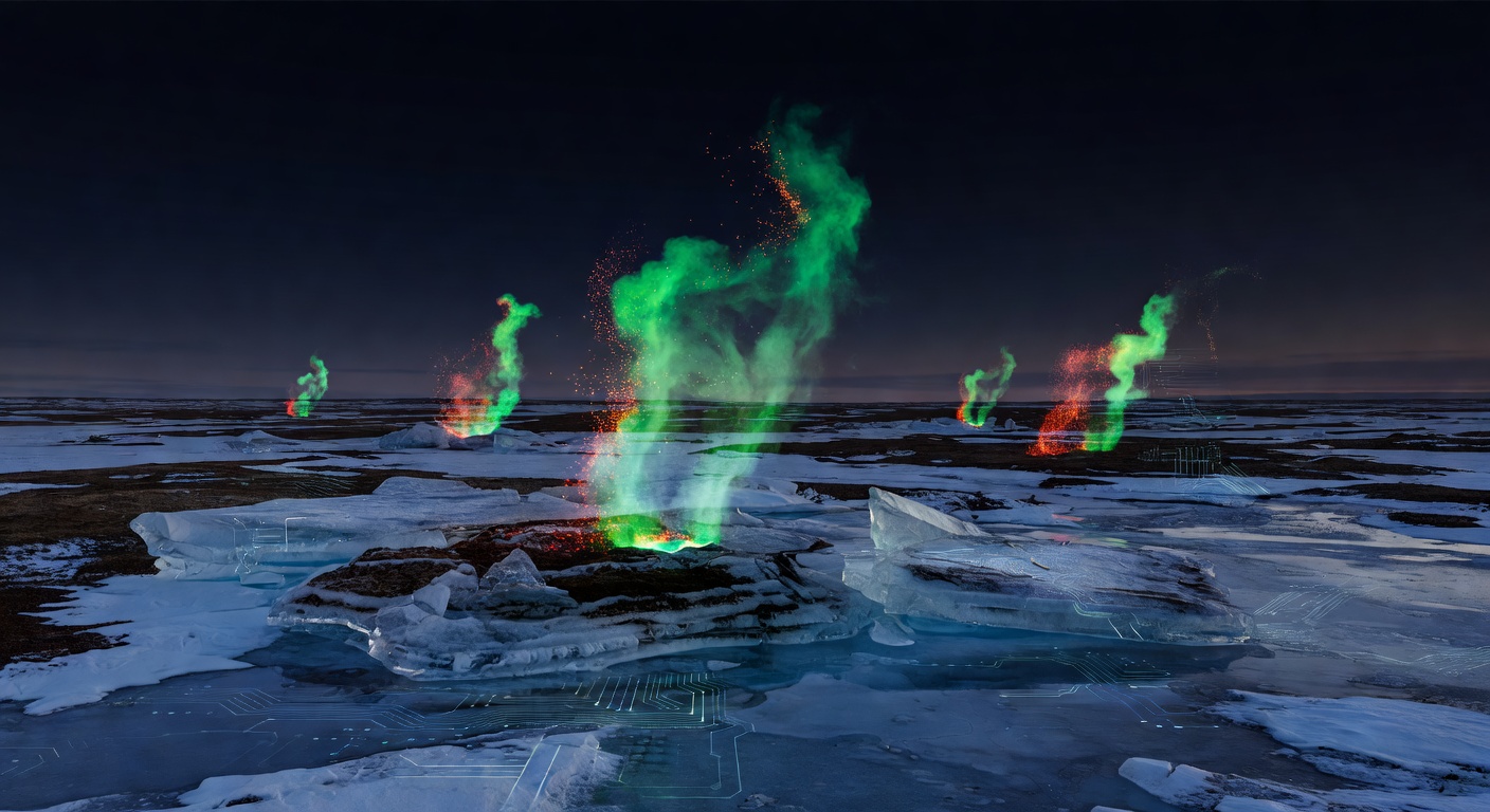
The Permafrost Problem Nobody Really Understood—Until Now
So what's actually happening up there? Well, above the permanently frozen ground (hence the name "permafrost"), there's a layer called the "active layer" that thaws every summer and refreezes every winter. As temperatures climb, this active layer is getting thicker—meaning more of the ancient, frozen organic material underneath is being exposed to liquid water.
When that happens, all the carbon-rich stuff that's been safely locked away for thousands of years starts breaking down and dissolving into rivers as dissolved organic carbon (DOC). And here's the kicker: once it reaches the ocean, it gets converted into carbon dioxide, which goes straight into the atmosphere and makes climate change worse. It's like we just accidentally hit the "accelerate" button on global warming.
The Challenge: You Can't Measure What You Can't Reach
The tricky part? Actually measuring what's happening in these remote Arctic rivers is incredibly difficult. Northern Alaska doesn't exactly have weather stations and monitoring equipment on every stream. There just aren't enough direct observations to know for sure what's flowing where.
That's where Michael Rawlins from the University of Massachusetts Amherst comes in. He's spent 25 years building something called the Permafrost Water Balance Model—basically a digital simulation that calculates snow accumulation, melt rates, changes in the active layer, and other key factors to predict what's really going on in these hard-to-reach places.
The New Tech That Made the Breakthrough Possible
For decades, this model worked, but it was limited. Scientists could only simulate things at a 25-kilometer resolution—imagine trying to see individual trees from an airplane window. Not very detailed.
In this latest study, Rawlins and his team did something remarkable: they ran the model at a one-kilometer resolution across an area roughly the size of Wisconsin, tracking 44 years of data from 1980 to 2023. And we're not talking simple calculations here—each simulation took 10 continuous days running on a supercomputer. That's serious computing power.
What they found wasn't reassuring.
The Results: More Water, More Carbon, Later Thaws
The data revealed three troubling trends:
Runoff is increasing sharply. More water is flowing from the Arctic landscape into rivers and streams. That extra water is a symptom of deeper thawing.
Rivers are getting loaded with carbon. The rivers aren't just carrying more water—they're carrying significantly more dissolved organic carbon. All that ancient stuff is dissolving and heading toward the ocean.
The thawing season is stretching longer. Spring comes earlier and fall comes later, meaning the active layer is thawed for a longer chunk of the year. More time thawed = more time for carbon to be released.
Over the next 80 years, the models suggest Arctic runoff could increase by up to 25%, with even bigger increases in subsurface groundwater flow.
Northwest Alaska Is the Worst Hotspot
Here's something interesting: the carbon release isn't evenly distributed. Northwest Alaska is experiencing the biggest increases. Why? Because that region is flatter terrain, which means organic matter has been accumulating in the permafrost for tens of thousands of years. It's like a massive stockpile of frozen fuel that's starting to ignite.
Why This Matters Beyond the Headlines
I know this sounds pretty doom-and-gloom, and honestly, it kind of is. But what makes this research important is that it finally gives us a clearer picture of the actual scale of the problem. Scientists can now tell coastal communities, conservation projects, and policymakers: "Here's what's coming through these Arctic rivers. Here's how much carbon is being released. Here's what we need to prepare for."
It's not a solution, but it's the first step toward one. You can't fix a problem you don't fully understand, and until now, the Arctic carbon release has been pretty hard to quantify.
The cold, hard truth? The Arctic isn't just getting warmer—it's becoming a feedback loop where warming causes more thawing, which releases more carbon, which causes more warming. It's the climate change equivalent of accidentally stepping on the gas pedal while sliding on ice.