Okay, I have to be honest with you — I didn't know any of this before diving into this research, and now I'm a little obsessed.
The Grand Canyon. You probably picture sweeping views, color-coded rock layers, maybe some condors circling overhead. But there's a whole other world down there. A wet, dark, absolutely fascinating world — and it's keeping the entire park alive.
Let me explain.
The Springs Nobody Talks About
Every year, millions of people visit the Grand Canyon. They snap photos, hike trails, and drink water from park stations without really thinking about where that water comes from.
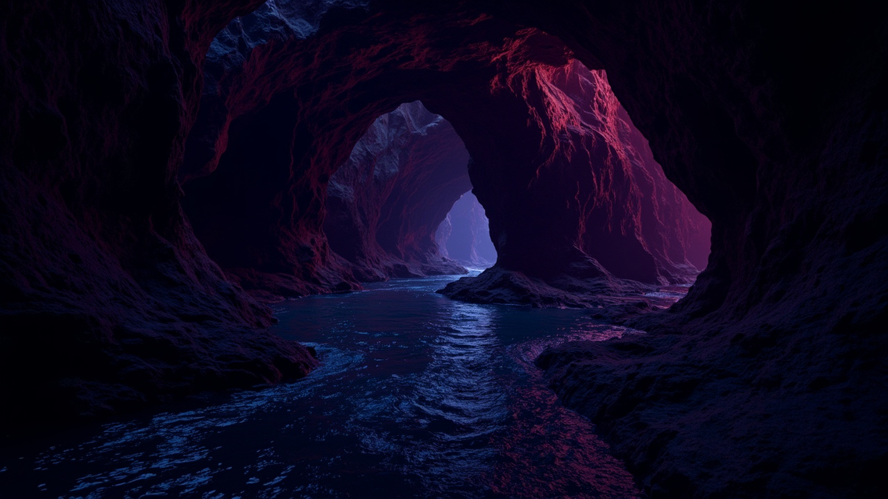
Here's the wild part: almost all of it — for the North Rim at least — comes from a single source called Roaring Springs. It's a cave-fed spring tucked away on the North Rim that most visitors never see. You can actually hear it if you're hiking the North Kaibab Trail, and maybe catch a glimpse of water rushing out from somewhere in the rock face. But there's no trail leading directly to it. It's deliberately hidden.
Why does this matter? Because that one spring provides water for park visitors, wildlife, plants, and entire ecosystems. It's not just a convenience — it's the lifeline of the North Rim.
And here's the thing that really got me: as climate change makes the region hotter and drier, protecting this water source is becoming critically important. We're not just talking about keeping water fountains running — we're talking about an entire ecosystem that could be in trouble if something changes with this underground system.
What's Hiding in Those Caves
Researchers from Northern Arizona University are now working to understand exactly how these cave-fed springs function. And honestly, what they're doing sounds like something out of an adventure movie.
For years, most of us had no idea what these caves even looked like inside. They're closed to the public, often located far from any established trail, and getting to them requires serious effort. But a team led by Ph.D. student Blase LaSala and professor Temuulen Sankey has been mapping these underground systems using mobile lidar scanners — basically, laser-based technology that creates incredibly detailed 3D maps.
Over 45 days, the team — including volunteers and park staff — documented more than 10 kilometers of underground passages. Ten kilometers. In caves most people will never see.
Professor Sankey put it simply: "I had no idea how large and long these caves are." The team produced high-resolution 3D maps that have never been done before in the Grand Canyon. This is genuinely new territory.
Getting There Is Half the Adventure
But here's what really got me about this story — the logistics sound absolutely grueling.
Team members carried packs weighing up to 55 pounds, including all that scanning equipment, while hiking to remote cave entrances. Some of these locations took two full days of hiking to reach. Once inside the caves? They climbed, rappelled, crawled through tight spaces, and even floated through flooded sections while documenting every detail.
These aren't adventure tourists — these are researchers who spent weeks in complete darkness, mapping the bones of the mountain. I have so much respect for that dedication.
The information they gathered is crucial because cave formation follows recognizable geological patterns. The arrangement of passages, cracks, and openings can reveal how water travels through different rock layers beneath the canyon.
The Mystery of the Underground Journey
So here's the big question: where does the water actually come from?
The simple answer is the surface — specifically, snowmelt from the Kaibab Plateau above. But the journey from surface to spring is still something of a mystery.
The cave-fed springs sit within specific limestone formations deep in the canyon. Several other rock layers sit between those springs and the surface above. Previous dye tracing experiments have shown that water can move surprisingly fast through this underground system — in some tests, dye poured into sinkholes on the plateau traveled about 20 kilometers and appeared at springs in less than a week.
Twenty kilometers. In seven days. Through solid rock.
LaSala compared it to looking at a black box — you see what goes in and what comes out, but it's hard to know exactly what happens inside. The new mapping project is helping researchers start to piece together that puzzle.
Why Should You Care?
Here's where this gets personal for all of us.
The Grand Canyon's largest springs are fed by what's called karst systems — essentially, rock with so many holes, channels, and openings that Professor Sankey compares it to Swiss cheese. Water moves through these systems rapidly, which is efficient... but it also means contamination can spread quickly too.
Understanding these underground pathways matters for water quality and public safety. It matters for wildlife that depends on these water sources. It matters as the climate continues to change and these systems face new pressures.
The researchers are essentially doing detective work on the geology of an entire region, connecting what we can see at the surface to what's happening hundreds of feet below ground. Once they understand the patterns, they can start predicting how these systems might change over time.
There's So Much We Don't Know
What strikes me most about this story is how much we still don't understand about our own planet. We've mapped the moon. We've sent robots to Mars. But there are enormous cave systems right here in the United States that we've barely begun to understand.
The work happening at the Grand Canyon isn't just academic curiosity — it's critical infrastructure planning, wildlife conservation, and climate adaptation all rolled into one. And it's being done by researchers carrying heavy equipment into remote caves for days at a time.
That's pretty remarkable if you ask me.
If you ever visit the Grand Canyon and fill up your water bottle at a station, take a moment to think about the journey that water took to get to you. An underground world of caves and fractures and ancient rock formations, all working together to bring you something as simple and essential as a drink of water.
It's easy to forget how much is happening beneath our feet.
Source: https://www.sciencedaily.com/releases/2026/06/260602021648.htm