When Nature Shows Off Its Eye
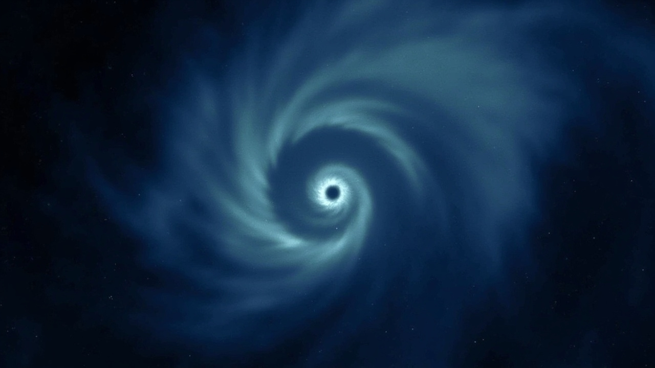
Okay, I'll be honest—when I first saw the satellite image of Typhoon Jangmi, I had to do a double-take. Is that... a hurricane photographed at night? From space? And look at that eye. That perfect, glowing, almost hypnotic eye staring back at us from the darkness.
This is the kind of thing that makes me love following science news. We've all seen those dramatic hurricane photos from orbit, but those are usually taken during daylight hours. This image? Captured by the Suomi NPP satellite at about 1:40 in the morning, Japan Standard Time. And you can still see everything. The structure, the clouds swirling around that central eye—it's honestly a little beautiful and a lot unsettling.
What's Actually Going On Here?
Let me break down what's happening, because it's pretty cool. Typhoon Jangmi was slowly making its way toward southern Japan in late May 2026, churning across the Philippine Sea like a giant, rotating engine. By May 30th, the Joint Typhoon Warning Center measured sustained winds of about 120 kilometers per hour—putting it at Category 1 hurricane strength.
But here's the really fascinating part: the eye of this storm was unusually large. NASA's research meteorologist Scott Braun noted that compared to many tropical cyclones, Jangmi's eye was a beast. We're talking 75 miles of sustained winds swirling around a cleared-out center that looks like it could swallow a city whole.
The image also hints at something called mesocyclones—those little rotating features along the eastern edge of the eye. Think of them as smaller eddies within the bigger whirlpool. According to Braun, these are normal, but seeing them peeking through the cloud layers in a nighttime image? That's just not something you see every day.
Watching It Intensify
Here's where it gets interesting. By the next day, Jangmi had strengthened. Winds bumped up to about 130 kilometers per hour (80 mph). The storm stayed just south of Okinawa, but its massive cloud bands were already spreading over parts of Japan.
Scientists captured a second image with the NOAA-20 satellite, giving us a wider view of the system stretching across the Pacific. Two satellite instruments, two gorgeous (if ominous) views of the same storm from above.
Why Should You Care?
Look, I know what you're thinking: "This is cool, but does it affect me?"
Maybe, maybe not. But here's the thing—typhoons like Jangmi remind us how interconnected our planet is. That warm ocean water that fuels these storms doesn't respect borders. And the more we understand them through images like this, the better we can prepare for their impacts.
The concern for Japan was serious: significant rainfall, potential flooding along the Pacific coastline. These storms don't just bring wind—they bring water. And when you're talking about already-saturated areas, that rainfall can be devastating.
The Bigger Picture
What strikes me most about this image isn't just the raw power on display—it's how orderly it looks. There's something almost meditative about watching that perfect circular eye, the spiraling arms of cloud bands reaching out across hundreds of miles of ocean.
Nature, even in its most violent moments, has a structure. A geometry. And capturing that from space, in the middle of the night, with technology that can "see" these storms clearly enough to track their movements and predict their paths... that's genuinely amazing.
So next time you see a hurricane or typhoon in the news, take a moment to look up the satellite imagery. These images do more than just track storms—they help us understand the planet we live on.
Stay safe out there, friends. And maybe give science a little credit for watching these giants from the sidelines, so we know what's coming.
Source: SciDaily Article